

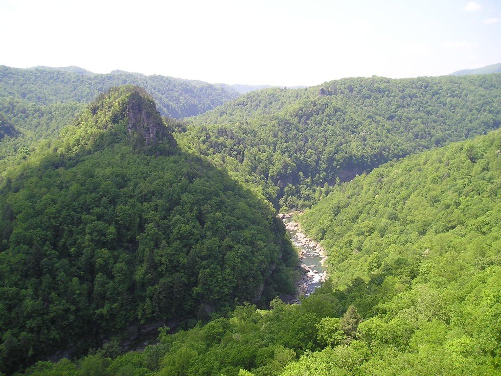
A 253,000-acre conservation project across Virginia, Tennessee, and Kentucky is opening land for recreation, supporting timber and solar development, and sending money into local communities. It is also raising a harder question for the Appalachian Highlands: What happens when conservation depends on private investment, carbon credits, timber revenue, and mineral-rights agreements that were written long before the land was protected?
The Cumberland Forest Project is easy to describe in terms of acreage and harder to judge by impact. The Nature Conservancy says in its 2023 impact report that the project was formed in 2018 as an impact-investment fund to acquire and operate 253,000 acres of working forestland in Central Appalachia. Backed by private investors, the project includes two large properties: Ataya, in Kentucky and Tennessee, and Highlands, in Virginia. Its stated goal is to produce conservation, community, and financial returns.
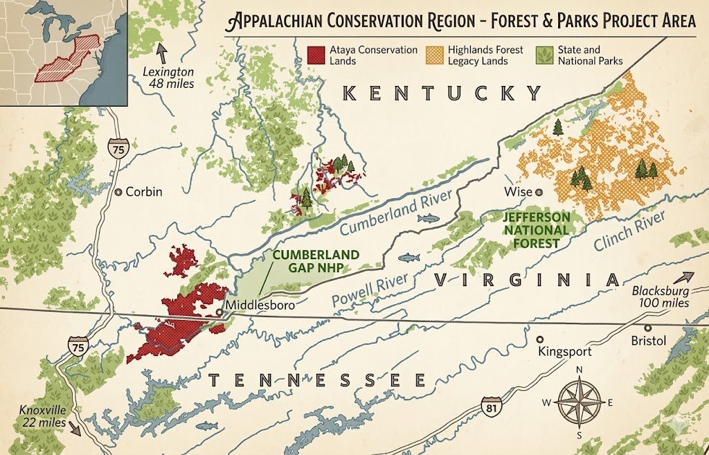
The combination is both the appeal and the complication. The Nature Conservancy led the acquisition through NatureVest, its conservation-investment arm, using a model designed to protect land at a scale that traditional grants and philanthropy often struggle to reach. VPM News and the Virginia Center for Investigative Journalism have reported that the purchase required about $130 million and involved support from philanthropists and the Commonwealth of Virginia.
The project is not a wilderness preserve set apart from human use. It is a working landscape. Timber harvests continue. Carbon credits help support the financial model. Former mine lands are being considered for solar development. Public recreation is expanding. And beneath parts of the conserved surface, third parties still hold coal and gas rights.
For farmers, landowners, hunters, anglers, and rural communities, that makes the Cumberland Forest Project more than a land deal. It is a test of whether conservation finance can protect forests, support local economies and still account for the ecological complexity of the Appalachian Highlands — especially in a landscape where some places naturally belong in closed forest, and others may need more open conditions.
Project at a glance
- 253,000 acres across Virginia, Tennessee, and Kentucky
- About 148,000 acres under public access leases or easements
- 65 forestry jobs were directly supported in 2023
- More than 191,000 metric tons of carbon dioxide equivalent were sequestered in 2023
- Seven utility-scale solar projects proposed on former mine lands
- Community grants funded through mineral royalties and philanthropy
Source: The Nature Conservancy’s 2023 impact report
Access, timber, and elk tourism
Public access as local infrastructure
One of the clearest public benefits is access. The Nature Conservancy’s 2023 impact report says public access leases and easements now cover about 148,000 acres, or 59% of the fund’s holdings. That includes roughly 51,000 acres in Virginia, 54,583 acres in Kentucky, and 42,645 acres in Tennessee. In Virginia, the report says those leases provide the only public access to outdoor recreation in Buchanan County.
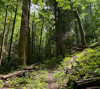
Access is not only about recreation. In a region where private ownership has often limited outdoor use, public access can also become part of a local economic strategy. According to the report, the project’s Virginia lands include 144 miles of publicly accessible trails under an agreement with Spearhead Trails. In Tennessee, the project completed a trail inventory that recommended 134 miles for public use and identified areas where trail closures or limits were needed to reduce environmental impacts.

Elk viewing brings outside visitors
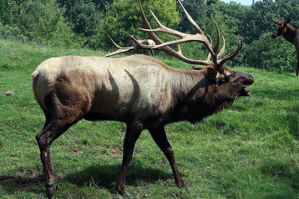
Elk restoration is another example of how conservation, tourism, and land management overlap. The impact report says the project’s properties are tied to elk reintroduction efforts in Virginia, Kentucky, and Tennessee. In Buchanan County, Breaks Interstate Park reported 770 participants in general-admission elk-viewing tours in 2023, while the report estimates total elk-viewing participation was well over 1,000 when special group trips were included. All 200 Virginia Department of Wildlife Resources tours sold out within 48 hours, and 84% of participants traveled more than 3 hours, according to the report.
Those figures do not prove that elk tourism can transform the regional economy by itself. They do suggest that wildlife viewing is drawing outside visitors into nearby communities — the kind of traffic that can support lodging, restaurants, fuel stations, outfitters and other small businesses.
A forest that still works
Timber remains part of the equation, too. The report says the project manages its forested acreage under Forest Stewardship Council certification and targets annual harvest rates of only 20% to 30% of natural growth. In 2023, the project harvested 1,213 acres, mostly through patch-regeneration harvests ranging from 4 to 10 acres. The report says those operations directly supported 65 jobs, including property management and logging crews, with additional indirect jobs in trucking, log yards, and mills.
That approach keeps the forest economically active while still aiming to increase timber inventory over time. It also shows the central tension of the project: This is conservation, but it is conservation built around working land.
Grants, mine cleanup, and solar development
Royalties become local grants
The Cumberland Forest Community Fund turns one of the project’s complications into a funding source. The impact report says the project owns the surface estates of the Ataya and Highlands properties, while unrelated third parties retain the subsurface mineral rights. Under the property deeds, mining royalties are paid to the surface owner. The project has committed to redirecting all of those royalties into grants for local community economic development.
In Virginia, the University of Virginia’s College at Wise administers community grants tied to the project. The Nature Conservancy report says UVA-Wise issued its first grant solicitation in 2021, selecting 10 projects for a combined $100,000. By 2023, those projects had been completed, including support for the Clinch River Valley Initiative, a Pound River access point completed by Appalshop, and improved rock-climbing access at Breaks Interstate Park. A second round committed another $140,000.
VPM News and the Virginia Center for Investigative Journalism have reported that Virginia grants also supported smaller community projects, including irrigation systems, compost facilities at community gardens, student summer programming, hiking and biking trails, native tree planting, playground renovations, and other local improvements.
In Tennessee, the impact report says the Clinch-Powell Resource Conservation and Development Council funded six projects totaling $92,000, including an ADA-compliant elk-viewing tower and riverbank improvements to reduce erosion and improve public access. In Kentucky, the Mountain Association helped install a community solar project on the Middlesboro Community Center and began evaluating additional projects at Red Bird Mission School and the Leslie County Animal Shelter.
The report also notes a limitation: Coal and gas extraction on the properties has declined in recent years, reducing royalty contributions to the Community Fund. To keep grantmaking moving, The Nature Conservancy has secured more than $200,000 in independent philanthropic contributions since the beginning of the project.
Repairing old mine damage
Mine-land repair is another major piece of the work. The 2023 impact report says Virginia Energy has initiated 11 abandoned mine land reclamation projects within Cumberland Forest boundaries. The largest by expenditure was the Camp Creek Landslide project, which addressed a site that threatened the Pound River, home to the federally threatened Big Sandy crayfish.
In Kentucky, the project worked with Green Forests Work on a 95-acre restoration site in Leslie County. Crews removed invasive species, loosened compacted mine soil, planted 24 species of native trees, and spread 525 pounds of native warm-season grass and wildflower seed. In Wise County, Virginia, nearly 100 Eastside High School students helped plant about 1,000 hardwood seedlings on land mined for coal in the 1970s.
Solar on former mine land
Solar development is also being tested on former mine lands. The impact report says seven utility-scale solar projects are being advanced in collaboration with Sun Tribe Solar and Dominion Energy. Together, the sites cover about 1,000 acres of previously disturbed surface-mining land and could generate up to 120 megawatts of power, enough for an estimated 22,800 homes. The report described the 10-megawatt Wildcats Solar site as the furthest along, with a power purchase agreement, interconnection progress, and approval from the Virginia State Corporation Commission.
In a coalfield region, those projects are practical and symbolic. They point to one possible path for reusing former extraction sites. But many of the projects are still in permitting, pre-development, or planning stages, which means their long-term economic effect remains to be seen.
The forest-and-habitat question
Carbon is not a side issue for the Cumberland Forest Project. In 2023, the forests within the properties sequestered more than 191,000 metric tons of carbon dioxide equivalent, bringing the cumulative total to 4.6 million metric tons, according to The Nature Conservancy’s impact report. The report says that sequestration came from net growth in timber stocks while harvest rates remained below annual forest growth.
Protecting forests can be good climate policy. The harder question is whether a carbon-focused forest is always the same thing as a healthy Appalachian landscape.
Not every forest is the same
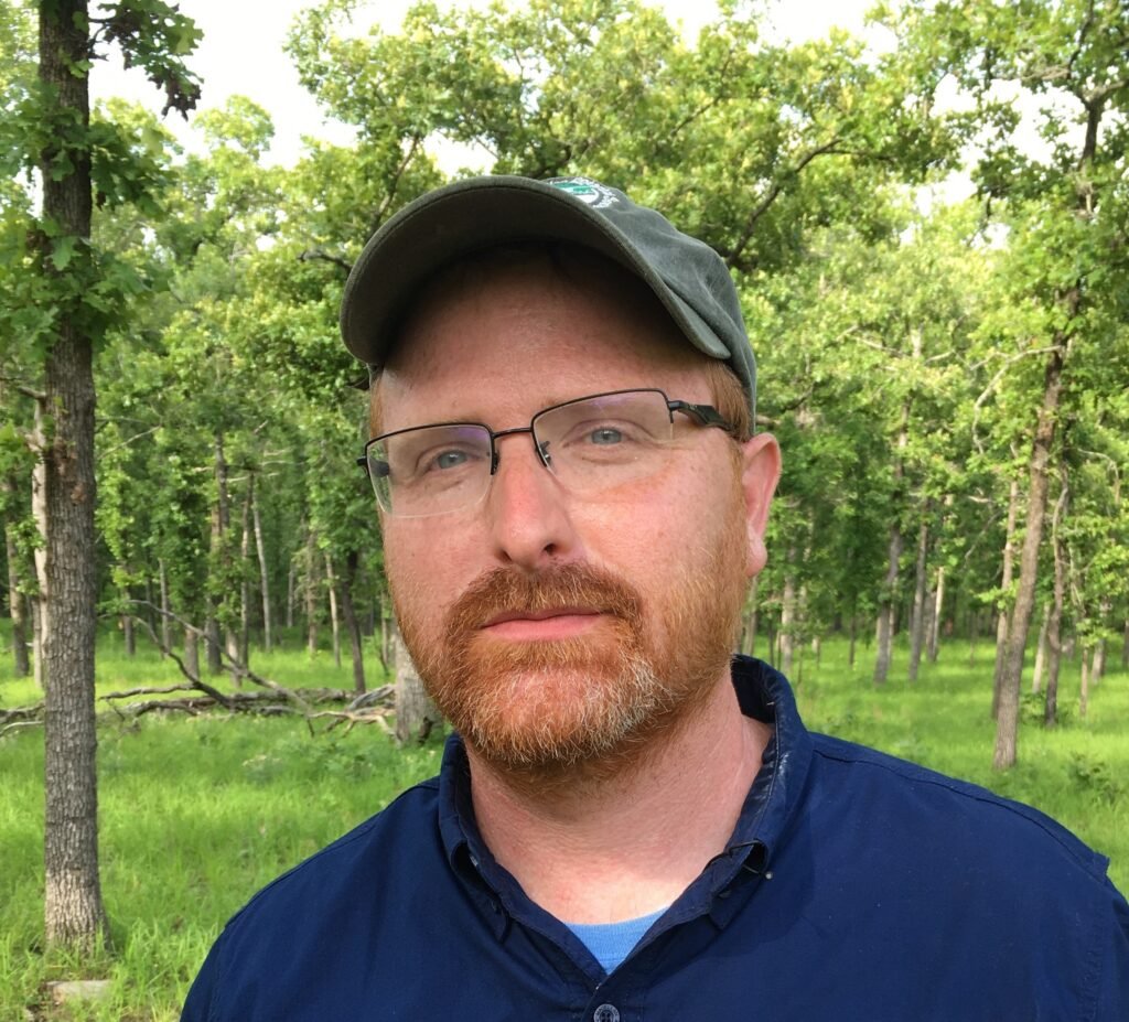
Theo Witsell, co-founder and chief conservation officer of the Southeastern Grasslands Institute at Austin Peay State University, said in written comments for this article that the answer depends on the site. Forests are “certainly a natural and ancient part” of the Cumberland Plateau landscape, he said, but so are grasslands, savannas and open woodlands.
Historically, Witsell said, closed-canopy forests were most common in bottomlands, rugged terrain, and other places where fire was rare or burned with low intensity. More open habitats were often found on thinner soils and broad, flat, or gently rolling uplands where fire could move across the landscape more freely. Slope, aspect, soil type, geology, moisture, temperature, and surrounding landforms all helped determine whether a place functioned naturally as forest, open woodland, or grassland.
That distinction matters because not all closed-canopy forests are the same. Witsell said natural forests often support shade-loving understory plants that belong in those sites. But formerly open woodlands and savannas that have grown into closed-canopy forest may have a much thinner and less diverse understory because the sun-loving plants that once defined those places have been shaded out.
“The understory plants can tell us what a site was, what it is, and what it wants to be,” Witsell said.
That is an important clarification for the Cumberland Forest Project. Witsell said the Southeastern Grasslands Institute partners with The Nature Conservancy on several grassland-focused projects across the Southeast and is supportive of the Cumberland Forest Project. He also noted that the project focuses on the Cumberland Mountains ecoregion, one of the more dissected parts of the Cumberlands, which was historically and naturally more forested than the flatter “table lands” of the Cumberland Plateau in Alabama and Tennessee.

Small habitats inside a big forest
In other words, the issue is not that the Cumberland Forest lands should be treated as one large grassland restoration project. The issue is whether the smaller open habitats within the broader forest are recognized and managed for what they are.
Even in a mostly forested landscape, Witsell said, the region includes important small-patch grasslands and historically open woodlands, including open bogs, sandstone glades, valley-bottom meadows and dry upland woodlands dominated by pitch pine, shortleaf pine and open woodland oak species. Many of those habitats have declined and are now of conservation concern.
Restoring them is not passive work. Witsell said many of these communities need active intervention, including selective tree removal, midstory thinning, prescribed fire, and control of invading woody vegetation. The goal, he said, is to restore light to the ground, reduce the buildup of leaf litter and bring back the sun-loving ground flora that supports native wildlife.
The project’s own restoration work suggests managers are already dealing with some of that complexity. The Nature Conservancy report highlights native warm-season grass and wildflower seeding on a 95-acre former mine restoration site in Leslie County, Kentucky. It also describes elk-habitat restoration on previously mined lands in Tennessee and Virginia, including invasive species control, woody vegetation removal, and revegetation.
Carbon accounting vs. site-by-site ecology
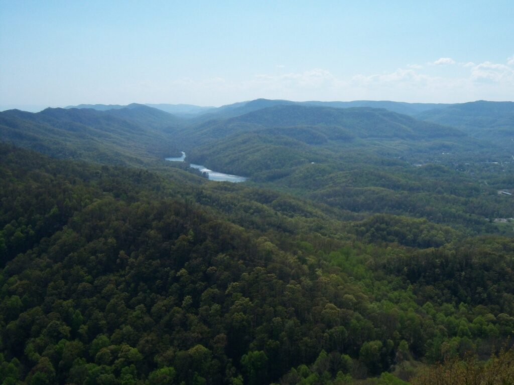
Still, Witsell’s comments point to a larger challenge for any carbon-funded conservation project. Carbon accounting tends to reward measurable forest growth. Habitat management often requires more site-specific judgment. Some places should be allowed to grow into mature forest. Others may need thinning, burning, or other disturbance to recover their historical character.
“Too often the discussion, even within the conservation community, gets over-simplified,” Witsell said. “Both science and history insist that it all depends on the site. The devil is in the details.”
The practical question, then, is not forest versus grassland. It is whether managers can recognize what each site needs. The Cumberland Forest Project does not have to choose between forests and grasslands across the entire landscape. But its long-term ecological success may depend on whether carbon storage, timber management, elk habitat, mine-land restoration, and small-patch open communities are managed together rather than treated as separate goals.
For farmers and rural landowners, this is not just a debate among ecologists. Pollinators, birds, soil health, water quality, and wildlife habitat all shape the surrounding agricultural landscape. A conservation model that works for carbon accounting may still need careful, site-by-site management to work for the full Appalachian ecosystem.
Carbon credits and coal beneath the surface
The carbon-credit model has also drawn scrutiny. Carbon markets can bring money into conservation, but their climate value depends on additionality — whether the carbon storage would not have happened without the project.
The additionality problem
Charles D. Canham of the Cary Institute of Ecosystem Studies has questioned whether some forest carbon deals produce measurable new climate benefits, especially when forests were not likely to be heavily cut in the first place. In a 2021 essay for the institute, Canham wrote that whoever purchased the forest’s offset credits at auction on the California market “used those credits to continue to pollute the atmosphere.”
That criticism is not that forest protection lacks value. The climate claim associated with an offset depends on whether the credit represents carbon storage beyond what would likely have occurred anyway.
Surface rights, underground rights
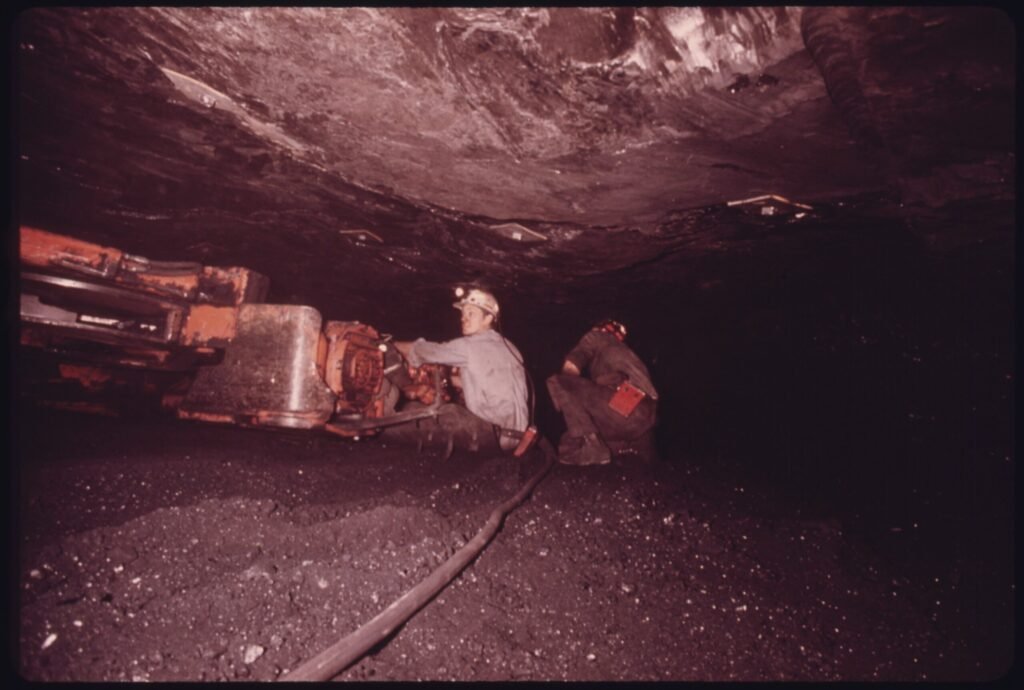
Mineral rights add another complication. The Nature Conservancy report says the Cumberland Forest Project owns the surface estates, while unrelated third parties retain subsurface mineral rights. That means conservation ownership at the surface does not automatically control what happens below ground.
That issue became more visible when Grist reported in 2025 that the Department of the Interior had approved a new strip mine at Bryson Mountain in Claiborne County, Tennessee. The mine would cover 635 acres of previously mined land that had reverted to forest and is part of a tract that The Nature Conservancy bought for conservation purposes. Because of coalfield ownership structures, Grist reported, the conservancy owns the land but not the minerals beneath it.
Matt Hepler, an environmental scientist with Appalachian Voices, questioned the mine’s economics in the Grist story.
“What is this company doing differently” that would allow it to succeed where other mines had not? Hepler asked.
The mine approval does not erase the conservation value of the broader project. But it does show the limits of surface protection in a region where land and mineral rights have often been split apart.
Pragmatism and tradeoffs
Supporters of the Cumberland Forest Project argue that it should be judged against the realistic alternatives. Without a large buyer, the land could have remained vulnerable to fragmentation, development, heavier timber pressure, or uses less compatible with public access and long-term conservation.
The Nature Conservancy’s impact report says the project has already secured permanent conservation on 48% of its total acreage, close to its 56% goal. It has also expanded public recreation, supported FSC-certified forestry, directed money into community projects, advanced mine-land restoration, and moved solar proposals forward on disturbed land.
Those are real gains. They do not make the model simple.
Project leaders have acknowledged that the approach is still being tested. Brad Kreps of The Nature Conservancy told VPM News and the Virginia Center for Investigative Journalism, “We’re learning as we go.”
A test, not a template
That is probably the fairest way to read the Cumberland Forest Project: not as a final answer, but as a working experiment in a landscape shaped by coal, timber, private ownership, public access, wildlife habitat, and rural economic need.
For now, the project has opened land, funded local work, supported jobs, and put former mine lands into new use. It has also left hard questions about carbon credits, mineral rights, timber management, grassland and woodland restoration, and long-term ownership unresolved.
In Southwest Virginia and the wider Appalachian Highlands, that may be the real lesson: Protecting land does not mean stepping outside the region’s economic history. It means working through it.








Leave a Reply